A year of measuring
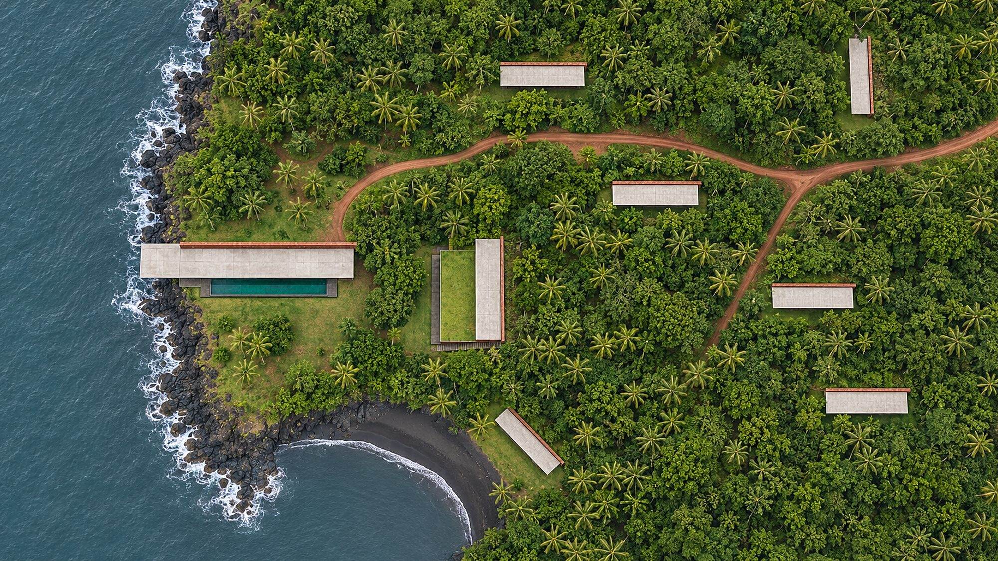
The headland was bought in the spring of 2019. Nobody drew anything on it until the spring of 2025.
In between, a surveyor walked it once a month with a level, a tape and a notebook. She recorded where the rain ran in July, where the ground stayed soft in September, and where the rock came up through the grass in January.
Where the water goes
The plateau tilts very slightly to the west. In the monsoon, the water gathers in two shallow channels and runs off the cliff in sheets. Building across those channels would have meant drains, culverts and concrete. Instead, every house stands on the eastern rise, above the line where the water runs.
Where the rock is
On the cliff, basalt lies within a metre of the surface. That is what lets the Headland House stand out over the water: its last twelve metres are carried on the rock itself. The survey found only two places where the rock is sound enough to do that. So there are two Headland Houses, and there will never be a third.
Which trees are old
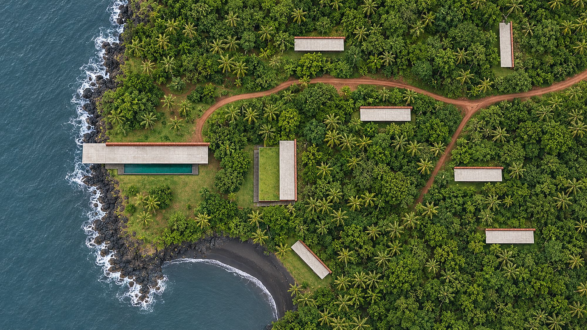
Eleven trees on the headland are older than a century. The banyan by the pavilion is the oldest; nobody on the coast remembers it smaller. Every one of them is on the survey, and none was cut. The lane bends around the banyan because the survey said it should.
Who can see whom
The last thing the survey measured was sight. From every possible house position, the surveyor stood at eye height and recorded what she could see. The eight plots are the eight positions from which no other house is visible. The nearest pair are ninety metres apart, with the slope between them.
That is why there are eight plots, not twenty.